×
MENU connect with us
CONTACT US

08-14 AUG 2023 :     Philippine Space Week 2023
Join us in celebrating the Philippine Space Week 2023, led by the Philippine Space Agency. From today until August 14, we are excited to showcase a series of informative and captivating satellite images sourced from our esteemed international partners. These images will exemplify the diverse applications of satellite technology, reshaping our world perspective.
12-13 APR 2023 :     #PlanetExplore23 Concluded
With #PlanetExplore23 now concluded, we want to thank Planet Labs for organizing this truly remarkable gathering of Earth observation leaders, innovators, and enthusiasts. The exchange of innovative ideas and cutting-edge knowledge has undoubtedly advanced the field of geospatial data and analytics.
We distribute high resolution, high cadence (monthly, weekly and daily revisit) satellite imagery and value-added products that address a wide range of applications.
01
PRODUCTS
WHAT WE OFFER
Geospectrum caters to the growing need for accurate, up-to-date and timely geospatial information to support decision making and planning activities. We distributes high resolution, high cadence (monthly, weekly and daily revisit) satellite imagery and value-added products that address a wide range of applications.
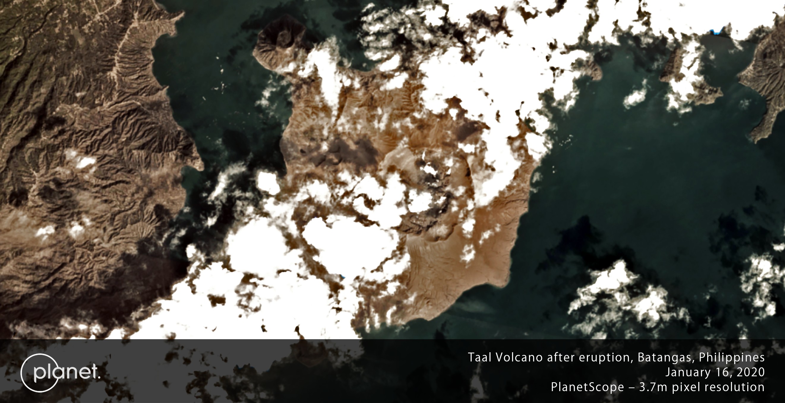
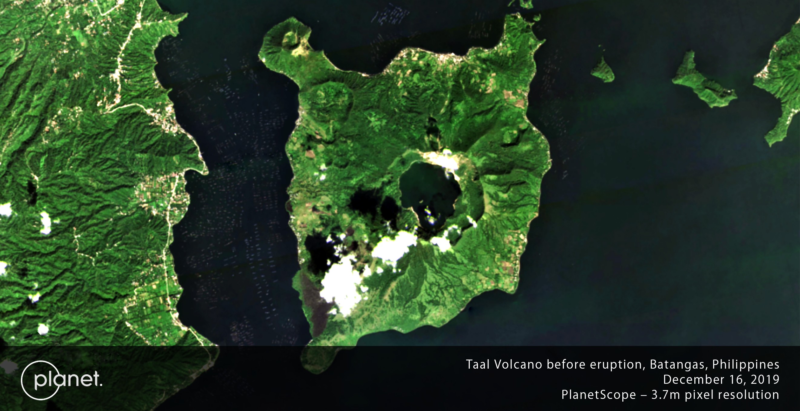
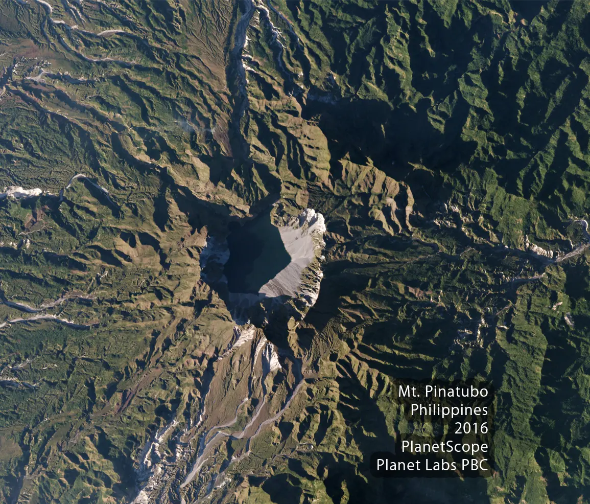
Optical Satellite Imagery
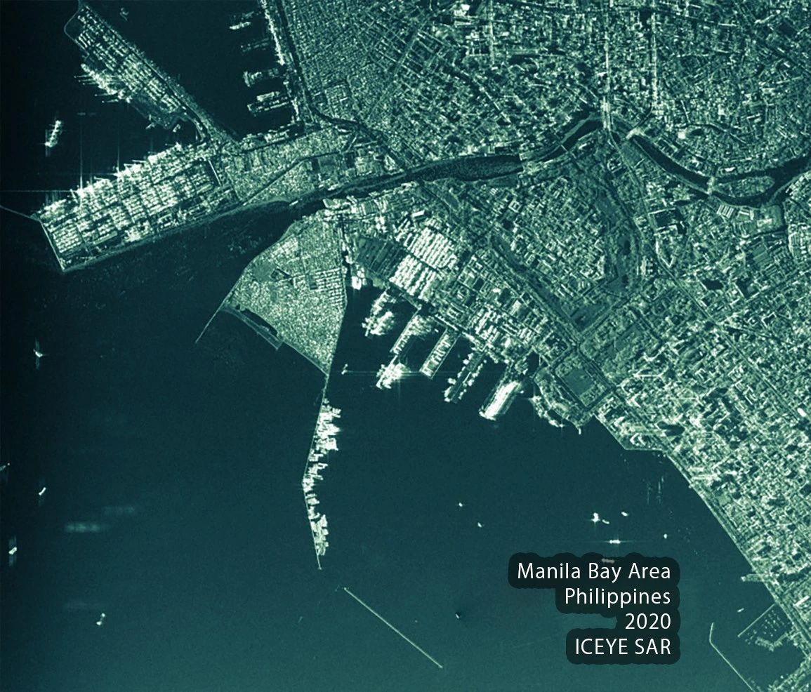
Non-optical Satellite Imagery
Analytics Services and Software

APPLICATIONS
02
Clients
WHAT THEY SAY


“The Forest Cover Change Analysis report developed by Geospectrum, particularly on the increase in forest cover, is now being used as the basis to report end-of-project accomplishments and impacts of site development interventions by the Forestland Management Project.”

From the Planet Labs customer brief highlights
Forestland Management Project (FMP)
Department of Environment and Natural Resources - Forest Management Bureau (DENR-FMB)


“Geospectrum as a service provider for high-resolution satellite imagery basemaps has shown excellent performance in compliance with contract terms and conditions, staff availability and professionalism, timeliness and quality work, and customer service.”

From the External Service Provider Performance Evaluation
Contract for the Supply and Delivery of High-Resolution Satellite Image of NCR
 
PREVIOUS CLIENTS :

 
03
Global Partners
WHO DO WE WORK WITH
In partnership with leading international satellite imagery providers, Geospectrum aims to provide you with accurate, reliable and up-to-date geospatial data that fits your needs.


04
ABOUT US
WHO WE ARE


Geospectrum comprises of two business entities:

Geospectrum Marketing Services is established in 2014 to supply and distribute geospatial data in the Philippines.

Geospectrum Analytics Services Inc. is established in 2020 to develop analytics software and services in the Philippines.

05
FREQUENTLY ASKED QUESTIONS
WHAT TO KNOW
Is Geospectrum a Philippine business?
Geospectrum is 100% Filipino-owned and -operated. Geospectrum Marketing Services is a DTI-registered business and PhilGEPS Platinum member. Geospectrum Analytics Services, Inc. is a SEC-registered corporation. Geospectrum has 2 offices, in Ortigas Center Pasig City and South Triangle Quezon City.

What is the difference between Geospectrum and other satellite imagery vendors?
Geospectrum’s partner satellite constellations constitute the largest fleet of imaging satellites, enabling more-than-daily capture of any project area. In addition, we offer always-on, nighttime, and all-weather monitoring. Geospectrum also offers a wide range of derived analytic products to provide you a comprehensive, end-to-end solutions package.

Are your products and services on a subscription basis?
Geospectrum offers both a la carte/ad hoc ordering and regular subscription models.

How much are your products?
Please contact us for a free and personalized price proposal. Pricing is highly variable based on product packaging, project size and timeline, local taxes and institution type. We offer academic, volume and institutional discounts.

Does the FAQ help? If not, CONTACT US   
06
Career
JOIN OUR TEAM


We are looking for a Business Development Specialist in Remote Sensing!

You will play a vital and creative role in growing our client audience and attraction across several verticals who will benefit from our products satellite remote sensing. Working closely with our wider teams across tech and non-tech.