×
MENU connect with us
CONTACT US
LATEST
WHAT'S HAPPENING
With #PlanetExplore23 now concluded, we want to thank Planet Labs for organizing this truly remarkable gathering of Earth observation leaders, innovators, and enthusiasts. The exchange of innovative ideas and cutting-edge knowledge has undoubtedly advanced the field of geospatial data and analytics.


01
EVENTS
17 OCTOBER 2023
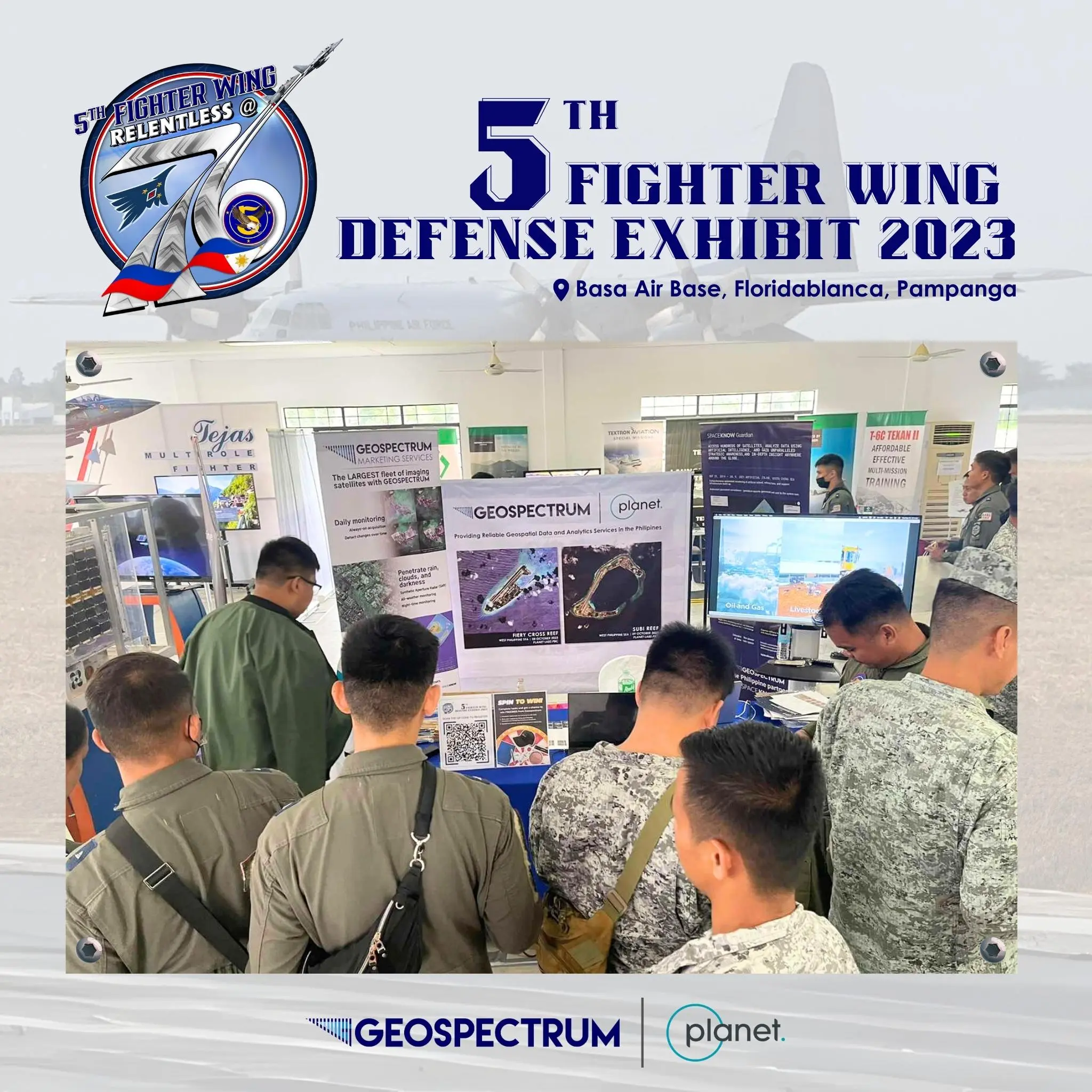
5th Fighter Wing Defense Exhibit 2023
        Geospectrum proudly showcased our advanced satellite imagery solutions in partnership with Planet. We're committed to empowering the Philippine Air Force with cutting-edge surveillance, vessel tracking, and object detection capabilities for enhanced national security and air defense. We look forward to the next opportunity to collaborate with the Philippine Air Force.

#GeospectrumPH #Planet #AcceleratewithExcellence #GuardiansofourPreciousSkies #PAFyoucanTRUST #AFPyoucanTRUST #fifthfighterwing #5fwrelentlessat76


5th Fighter Wing Defense Exhibit 2023

04 OCTOBER 2023
Planet on the Road 2023
        We sincerely thank Planet Labs for inviting us to "Planet on the Road" in Bangkok, Thailand on September 25-26. This event provided valuable insights into the applications of Planet Labs data and products and allowed us to strengthen our connections with fellow official Planet Labs partners in the Asia Pacific region. Furthermore, we had the privilege of showcasing successful satellite imagery utilization in the Philippines, thanks to our esteemed customers' support. With newfound inspiration and knowledge, we are better prepared to explore innovative ways in which Planet Labs data can benefit the Philippines. Stay tuned for updates on this exciting journey!

#PlanetOnTheRoad #GeospectrumPH


27 SEPTEMBER 2023

Strengthening Communities Together

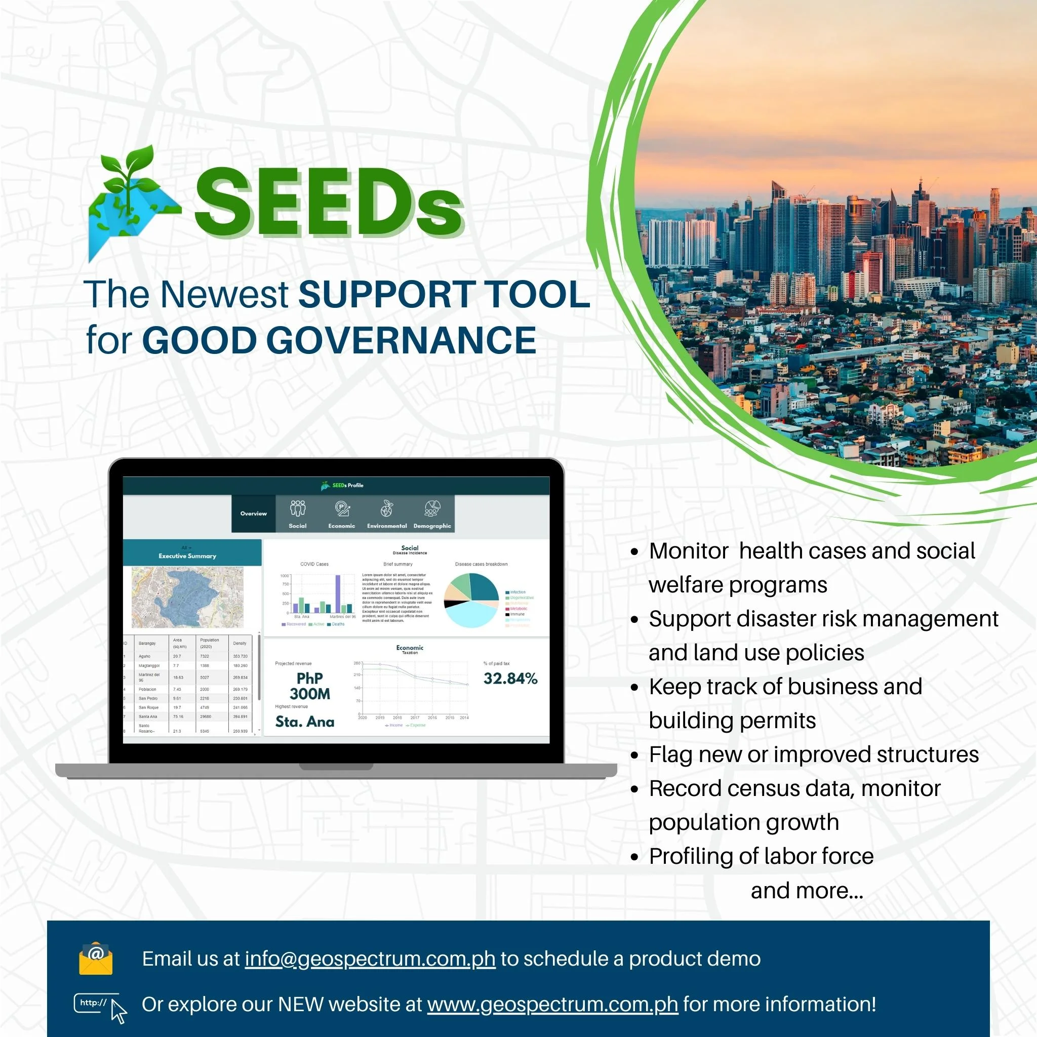
        The newest SUPPORT TOOL for GOOD GOVERNANCE, integrated with daily satellite imagery, is here to assist Local Government Units (LGUs) in the Philippines. Here's how SEEDs can benefit your community:

  • - Healthcare Tracking: Monitor health cases and ensure the well-being of your community.
  • - Disaster Preparedness: Support disaster risk management to keep your locality safe and resilient.
  • - Efficient Governance: Streamline the process of tracking business and building permits, ensuring smooth operations.
  • - Development Oversight: Easily flag new or improved structures to maintain proper zoning and planning.
  • - Data Insights: Record census data, monitor population growth, and gain valuable insights for informed decision-making.
  • - Workforce Profiling: Profile your labor force for better employment and economic planning.


#GeospectrumPH #GoodGovernance #SEEDs

SEEDs

26 AUGUST 2023

It's time to introduce the exciting innovation in Maritime Tech from our international partner

SpaceKnow.
        Spotting ships across expansive oceans and seas has perpetually presented difficulties. However, our cutting-edge machine-learning algorithms have successfully overcome these challenges. SpaceKnow's AI algorithms exhibit the capability to swiftly identify civilian vessels, patrol crafts, and even warships using satellite imagery in almost real time. This functionality proves invaluable, particularly in scenarios where a ship opts not to broadcast its AIS signal intentionally. Our extensive monitoring system relies on both high-resolution optical and Synthetic Aperture Radar (SAR) data, encompassing various resolutions, and can be availed as an automated monitoring service. Image source: ICEYE Oy. All rights reserved.

#MayonVolcano #SAR #Albay #ICEYE #Geospectrumph

Spaceknow

08 AUGUST 2023
Philippine Space Week 2023
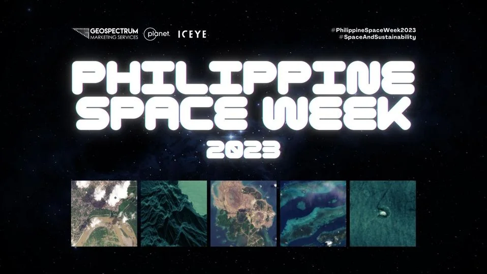
        Join us in celebrating the Philippine Space Week 2023, led by the Philippine Space Agency. From today until August 14, we are excited to showcase a series of informative and captivating satellite images sourced from our esteemed international partners. These images will exemplify the diverse applications of satellite technology, reshaping our world perspective.

Stay connected with us on our social media channels and #JoinTheMission in advocating space awareness as we celebrate #PhilippineSpaceWeek 🚀🛰

#GeospectrumPH #PhSpaceWeek #yamangkalawakan

Spaceweek

11 JULY 2023
Geospectrum is Celebrating Freedom and the birth of our Nation
        In commemoration of our National Day of Independence, Geospectrum is celebrating freedom and the birth of our nation with a multidimensional map showcasing the first eight provinces in the Philippines that fought against Spanish colonial rule. These provinces are Manila, Cavite, Bulacan, Pampanga, Nueva Ecija, Laguna, Tarlac, and Batangas. The featured image depicts the digital elevation data of the provinces sourced from AW3D. We take pride in being a Filipino-owned company and remain steadfast in our mission to assist the country in its developmental plans and overcome various challenges. Mabuhay ang lahing Pilipino!

Image source: Data processed from AW3D

#IndependenceDay #HappyIndependenceDay #ArawNgKalayaan #125thIndependenceDay #Kalayaan2023 #Trending #GeospectrumPH

Independence

09 MAY 2023
National Geodetic Engineering Summit and Geodetic Engineering Students Conference 2023
        Geospectrum is proud to sponsor the National Geodetic Engineering Summit and Geodetic Engineering Students Conference 2023 organized by the UP Geodetic Engineering Club. Mr. Miguel del Rosario, Geospectrum's Business Development and Marketing Officer took to the stage to showcase the value that daily satellite imagery and geospatial analytics can bring to a practicing geodetic engineer. Remote sensing using satellite imagery is a safe, timely, and cost-effective way to observe activities and changes in our world.

#NatGESxGESC2023 #geospectrumph


13 APRIL 2023
Geospectrum Marketing Services Participated in the #PlanetExplore23
        Geospectrum Marketing Services is excited to have participated in the incredible #PlanetExplore23 event in Washington, D.C., organized by Planet, the world's leading provider of global daily Earth data.

The first day was a blast, with top Earth observation leaders and enthusiasts coming together for inspiration, education, and networking opportunities. We're honored to be part of this dynamic community of like-minded individuals, united by our shared passion for exploring and understanding Earth data from satellite imagery.


31 MAR 2023
Geospectrum Marketing Services Hosted a Successful Workshop
        Geospectrum Marketing Services proudly hosted a successful workshop yesterday, March 30, in partnership with Planet Labs and the Philippine Space Agency (PHILSA). Held at PhilSA's Conference Room in the CyberOne Building in Eastwood City, Quezon City, the workshop focused on the latest technology updates and use cases for space technology.

Geospectrum Marketing Services, Planet Labs, and the Philippine Space Agency (PhilSA) are committed to utilizing space data and technology to enhance the well-being of every Filipino. As technology continues to evolve, and climate change, as well as maritime disputes, present new risks and challenges, our organizations are dedicated to collaborating in researching and developing innovative platforms and products derived from satellite imagery.

The workshop provided a forum for addressing questions, concerns, suggestions, and ideas on how Planet satellite daily imagery and Geospectrum's geospatial expertise can assist the Philippine Space Agency in fulfilling its mandate and programs. Geospectrum is honored to have this opportunity and we look forward to utilizing the insights we gained to support our partners in their future endeavors.


13 MAR 2023
Philippine Army Technology Day 2023
        What a successful showcase of satellite imagery and AI Machine Learning software we had! It was fantastic to see Army Commanding General Lt. Gen. Romeo S. Brawner, Jr., and our esteemed military personnel at Technology Day 2023, in celebration with the 126th Founding Anniversary of the Philippine Army. We demonstrate the capabilities of high frequency, global coverage imagery of Planet, and how we can access valuable data from any location on Earth, day or night, even through clouds from ICEYE. In addition, we demonstrated how we can make critical information about the Earth more accessible and affordable with EarthEye Space, as well as the world's most precise digital elevation model from AW3D. We also featured the state-of-the-art AI-based Imagery Intelligence software, the SpaceKnow Guardian.

This is a significant step for us in our mission to assist the country in surveilling and monitoring crucial military areas and assets. We would like to express our gratitude to everyone who visited our booth. We look forward to the next opportunity to collaborate with the Philippine Army.