×
MENU connect with us
CONTACT US

Latest Blog Posts

C4ISR

In Review: Geospectrum's 2026 Q1

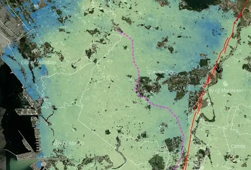
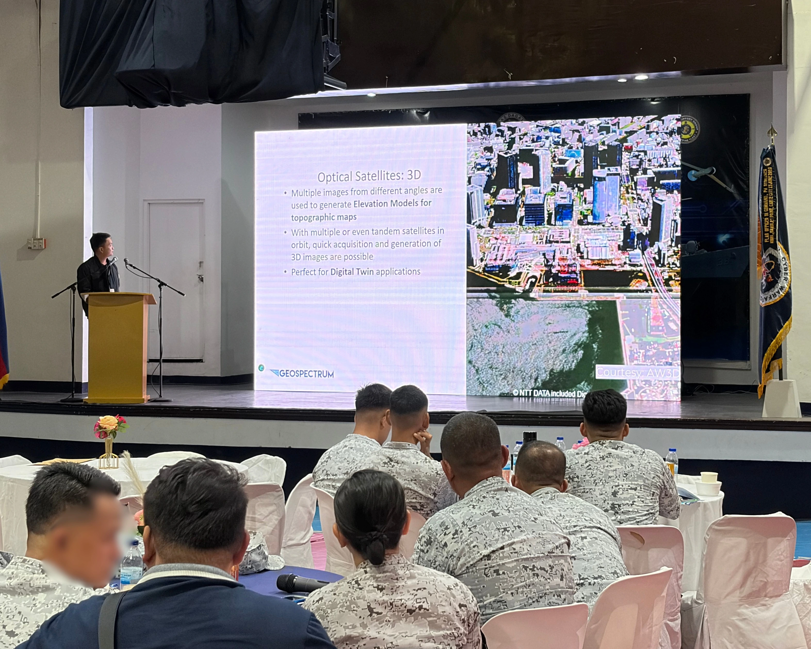
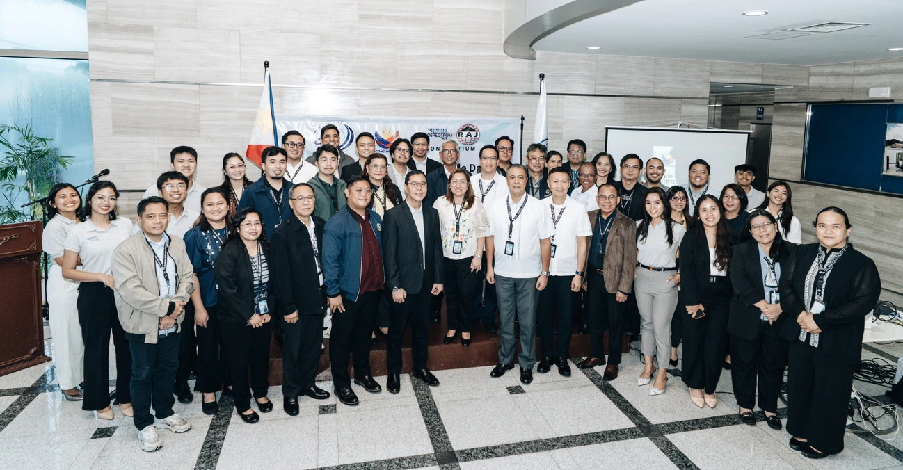
To kick off 2026, Geospectrum organized a series of discussions, meetings, and sessions to explore real-world impacts and solutions of our spatial and nonspatial offerings. A productive start to the year, the team’s efforts spanned across different verticals including defense, local government units, and environment.
PhilGEOS 2025

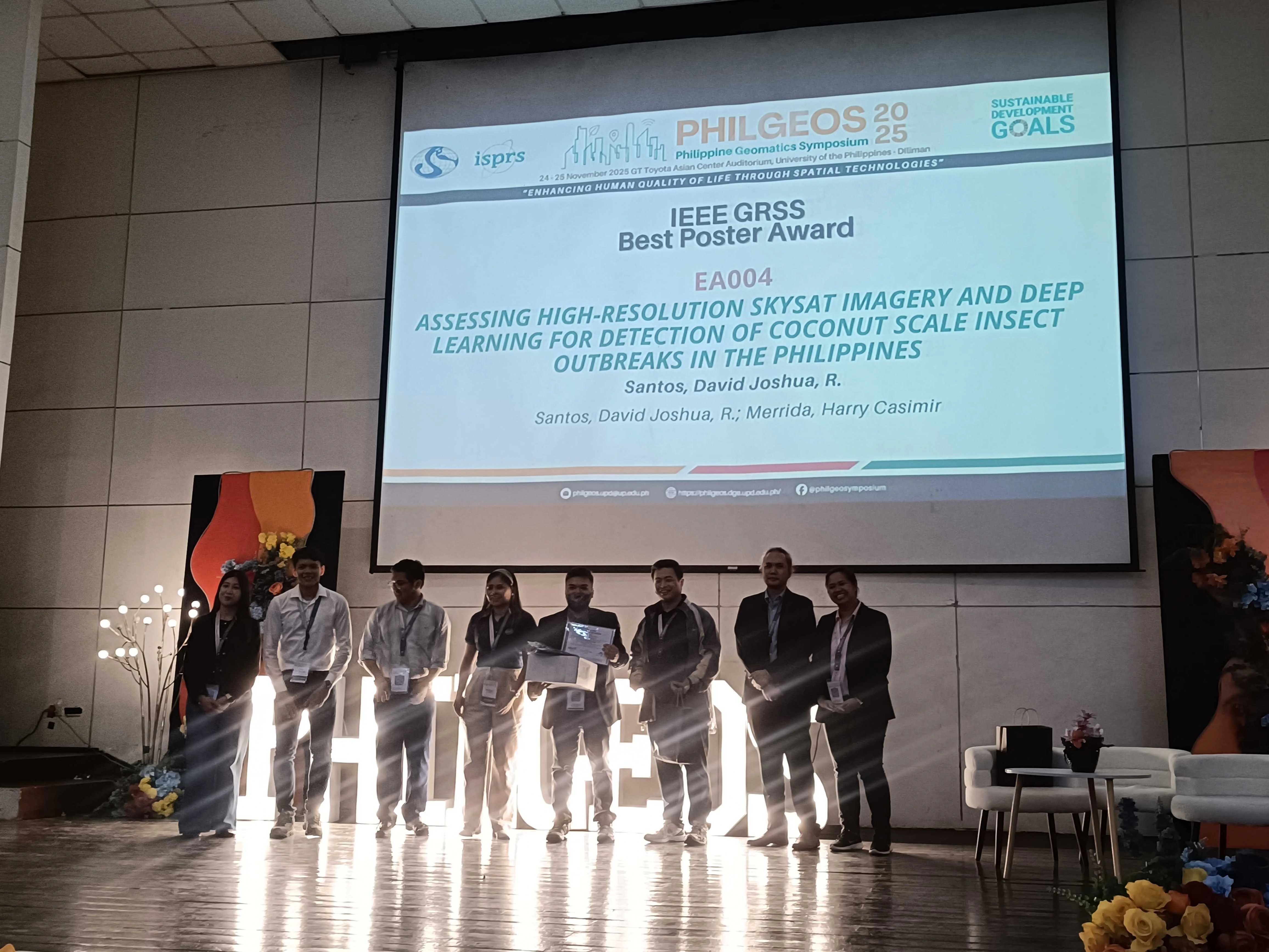
Geospectrum wins IEEE GRSS Best Poster award at the 2025 Philippine Geomatics Symposium

The Remote Sensing Department of Geospectrum Marketing Services participated in the recently-concluded 2025 Philippine Geomatics Symposium (PhilGEOS) held at GT-Toyota Asian Center Auditorium at University of the Philippines Diliman in Quezon City, Metro Manila last 24-25 November 2025.

Geospectrum ADAS 2024

Strengthening Partnerships Across Sectors: Geospectrum’s Highlights from July to October 2025

True to its mission of promoting reliable and cost-effective geospatial solutions to support national development, Geospectrum takes pride in its commitment to strengthening connections across sectors.

Coconut Plam Detection

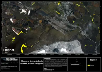
SUPERPOWER FORESTS: Classifying and Mapping Mangrove Areas in Bulakan, Bulacan using Deep Learning Model

Anywhere in the world, mangroves have been regarded as robust “rainforest of the sea” [1] and “ecosystems of hope” [2] as they are critical in maintaining a rich marine biodiversity of a variety of plants and animals as well as providing inhabitants along coastal areas with food, livelihood, and fortified shelters.

Solar Mapping

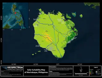
Embracing the Power of the Sun: Mapping the Philippines’ Solar Potential

In an era where energy demands are skyrocketing and environmental concerns are at the forefront, the debate between renewable energy sources and traditional fossil fuels is more pertinent than ever.

Coconut Plam Detection

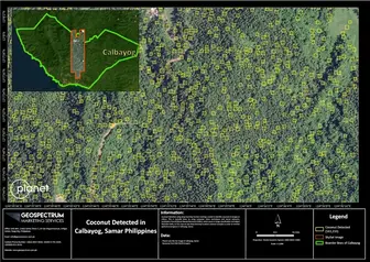
Coconut Palm Tree Detection in Samar Island using SkySat Imagery Through Advanced Deep Learning Identification

For generations, the coconut, which is often referred to as the "tree of life," has been an essential component of Philippine agriculture. It supports livelihoods, offers products with versatility, and contributes to the nation’s economy. But despite its importance to culture and the economy, the coconut sector faces a variety of difficulties that have an influence on output and the lives of coconut farmers.

Ship Detection using Deep Learning

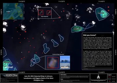
Revolutionizing Sea Surveillance: Ship Detection using Deep Learning and PlanetScope Imagery

In our increasingly interconnected world, the oceans are emerging as essential arteries of global trade and communication but also vulnerable to a series of threats ranging from piracy, and smuggling, to illegal fishing(1). To protect these maritime lifelines, navies across the globe are embracing new technology.

Geospectrum ADAS 2024

Geospectrum Joins at ADAS 2024: Showcasing Advanced Satellite Technology for Security and Defense

Geospectrum Marketing Services made a significant impact at the Asian Defense and Security (ADAS) Exhibition 2024, held from September 25-27 at the World Trade Center in Manila.

Geospectrum ADAS 2024

Strengthening Partnerships Across Sectors: Geospectrum’s Highlights from July to October 2025

True to its mission of promoting reliable and cost-effective geospatial solutions to support national development, Geospectrum takes pride in its commitment to strengthening connections across sectors.

Coconut Plam Detection

SUPERPOWER FORESTS: Classifying and Mapping Mangrove Areas in Bulakan, Bulacan using Deep Learning Model

Anywhere in the world, mangroves have been regarded as robust “rainforest of the sea” [1] and “ecosystems of hope” [2] as they are critical in maintaining a rich marine biodiversity of a variety of plants and animals as well as providing inhabitants along coastal areas with food, livelihood, and fortified shelters.

Solar Mapping

Embracing the Power of the Sun: Mapping the Philippines’ Solar Potential

In an era where energy demands are skyrocketing and environmental concerns are at the forefront, the debate between renewable energy sources and traditional fossil fuels is more pertinent than ever.

Coconut Plam Detection

Coconut Palm Tree Detection in Samar Island using SkySat Imagery Through Advanced Deep Learning Identification

For generations, the coconut, which is often referred to as the "tree of life," has been an essential component of Philippine agriculture. It supports livelihoods, offers products with versatility, and contributes to the nation’s economy. But despite its importance to culture and the economy, the coconut sector faces a variety of difficulties that have an influence on output and the lives of coconut farmers.

Ship Detection using Deep Learning

Revolutionizing Sea Surveillance: Ship Detection using Deep Learning and PlanetScope Imagery

In our increasingly interconnected world, the oceans are emerging as essential arteries of global trade and communication but also vulnerable to a series of threats ranging from piracy, and smuggling, to illegal fishing(1). To protect these maritime lifelines, navies across the globe are embracing new technology.

Geospectrum ADAS 2024

Geospectrum Joins at ADAS 2024: Showcasing Advanced Satellite Technology for Security and Defense

Geospectrum Marketing Services made a significant impact at the Asian Defense and Security (ADAS) Exhibition 2024, held from September 25-27 at the World Trade Center in Manila.

DENR Workshop Environment Monitoring

Geospectrum Marketing Services Host Workshop on Advanced Environmental Monitoring

The Department of Environment and Natural Resources' Geospatial Database Office (DENR-GDO) partnered with Geospectrum and Planet Labs PBC for a workshop titled "S.E.E.D.ing the future: Synergizing Earth & Environmental Data for a Sustainable Future."

The Blue Lagoon and the Iceland’s Fiery Fury

The Blue Lagoon and the Iceland’s Fiery Fury

A volcano in Iceland is erupting for the fourth time in 3 months. But what happened to the Blue Lagoon, Iceland's top tourist destination nearest to the said volcano?

Measuring Precise Ground Movements from Space

Measuring Precise Ground Movements from Space

The Earth is constantly moving due to natural processes such as erosion, weathering, tectonics, or groundwater fluctuations. Anthropogenic activities also induce ground surface deformation, with examples including tunneling activities, underground water and mineral resource extraction, and urban soil compaction. Additionally, man-made structures undergo inevitable degradation over time and eventually become susceptible to failure.

GEOSPECTRUM distributes high-resolution satellite imagery and value-added products, addressing a wide range of applications.