



Geospectrum wins IEEE GRSS Best Poster award at the 2025 Philippine Geomatics Symposium
By Josh Tabernilla, Technical Marketing Specialist
Geospectrum Marketing Services | Jan 12, 2026
READ TIME: 3 MINUTES
The Remote Sensing Department of Geospectrum Marketing Services participated in the recently-concluded 2025 Philippine Geomatics Symposium (PhilGEOS) held at GT-Toyota Asian Center Auditorium at University of the Philippines Diliman in Quezon City, Metro Manila last 24-25 November 2025.
With the theme “Enhancing Quality of Life through Spatial Technologies,” PhilGEOS 2025 convened esteemed researchers, students, industry professionals, government officials, and policymakers to deepen appreciation and understanding of the growing role of geomatics, remote sensing, and spatial analytics in fostering accessible communities, livable societies, and inclusive spaces for all.
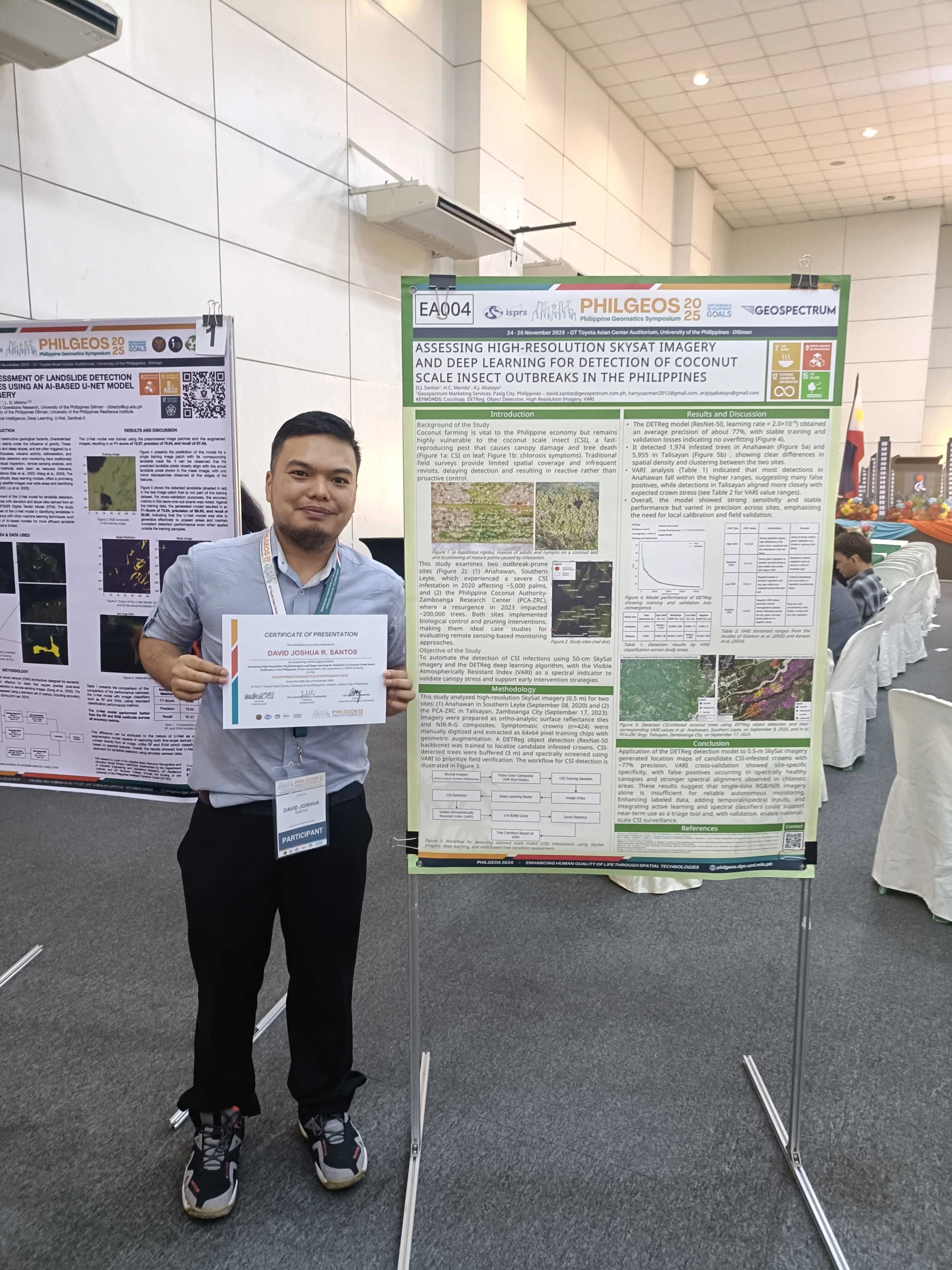
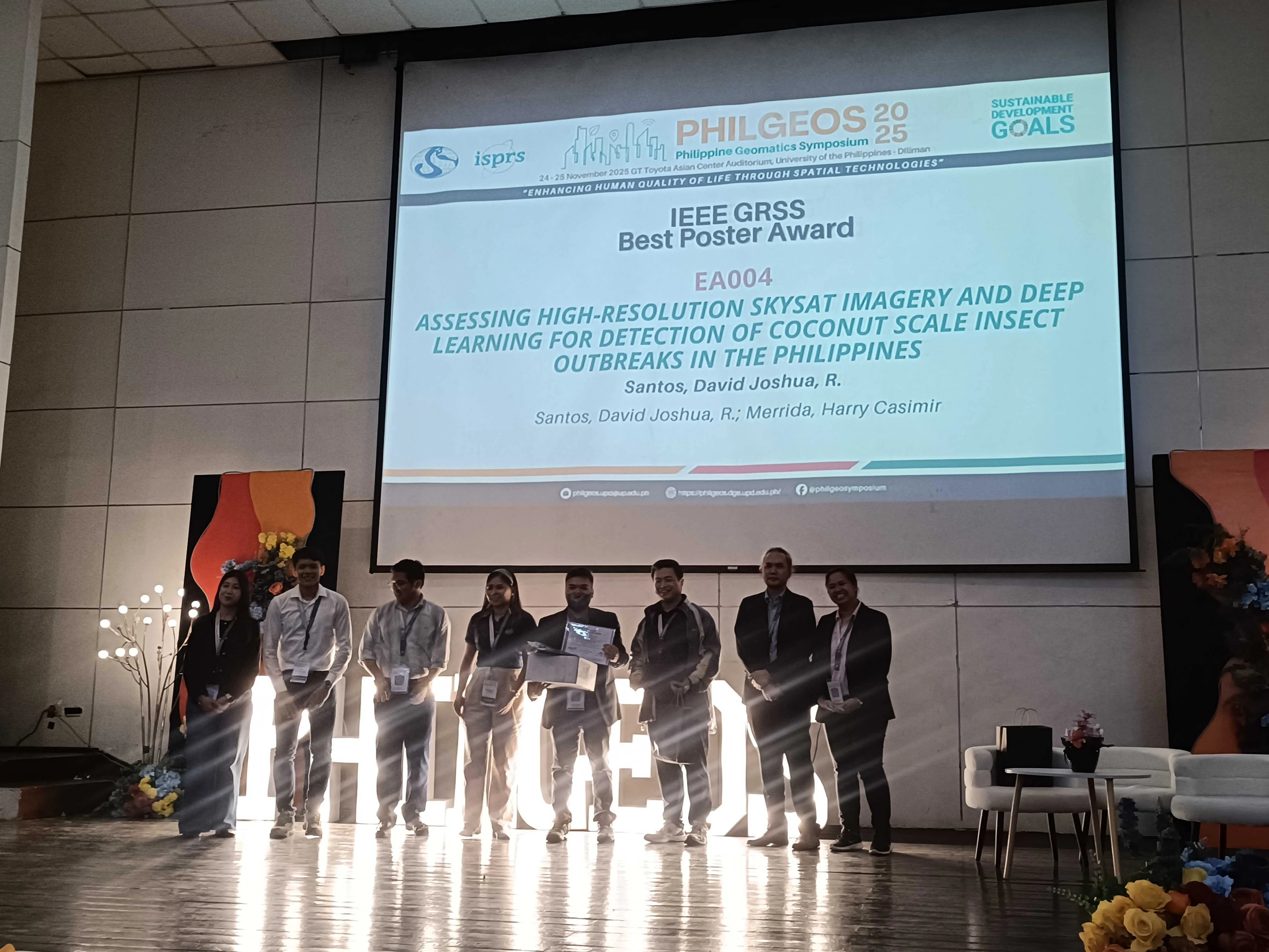
Remote Sensing Operations Supervisor David Joshua Santos was awarded the IEEE GRSS Best Poster for his paper entitled, “Assessing High-Resolution SkySat Imagery and Deep Learning for Detection of Coconut Scale Insect (CSI) Outbreaks in the Philippines” which was selected from an excellent lineup of research work on geospatial innovations that promote resilience, equity, and sustainability.
Assisted by Remote Sensing Specialist Ara Joy Abatayo and former Remote Sensing Supervisor Harry Merida, the published paper automated the detection of CSI infections using 50-cm SkySat imagery and the DETReg deep learning algorithm (ResNet-50, learning rate = 2.0x10⁻⁵) in order to examine two CSI outbreak-prone sites in Anahawan, Southern Leyte and Philippine Coconut Authority-Zamboanga Research Center (PCA-ZRC).
The DETReg model developed by Santos had an average precision of about 77% with stable training and validation losses, an indication of no overfitting. Spatial density and clustering between the two sites were observed after the detection of 1,974 infested trees in Anahawan and 5,955 in Talisayan.
The results of the study suggested that while farmers and policymakers can be empowered to leverage high-resolution satellite imagery, the use of such must still be complemented with additional temporal or spectral inputs, as well as active learning and spectral classifiers, in order to produce a reliable autonomous monitoring of CSI-infected trees.
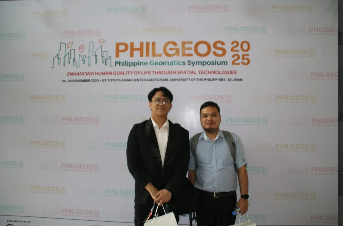
Photo of Jeremy Brian Ricofuerto (left) and David Joshua Santos (right), presenters at PhilGEOS 2025.

Photo of David Joshua Santos (left) Jeremy Brian Ricofuerto (right), presenters at PhilGEOS 2025.
Remote Sensing Specialist Jeremy Brian Ricofuerto presented a poster titled, “PS-InSAR Analysis of Precursory Deformation Before the September 2018 Naga Landslide, Philippines” which was co-authored by Nathan Azriel Veracruz, the Remote Sensing Specialist Chief of Geospectrum. Using Sentinel-1 imagery and SARPROZ, the study employed Persistent Scatterer Interferometric Synthetic Aperture Radar (PS-InSAR) to remotely detect ground deformation with sub-centimeter precision and reconstruct pre-failure ground movements at the Naga City quarry in Cebu between 2017 and 2018.
A total of 35 Sentinel-1B SR images from August 2017 to September 2018 were processed to extract deformation measurements which were validated against the field-mapped cracks observed by Catane et al. (2019)[1]. Google Earth Pro was then used to visualize the deformation and to identify the precursory displacement prior to the landslide event reported to have claimed 78 lives and displaced over 8,000 residents[2].
Under SDG 9 (building resilient infrastructure, promoting inclusive and sustainable industrialization and fostering innovation), the authors are also cognizant that the paper forwards important steps in enhancing mine safety regulations in the Philippines.
Aligned with the vision of PhilGEOS to improve the role of geomatics in people’s lives, Geospectrum remains committed in building meaningful contributions to support government and private institutions in our pursuit of enabling data-driven decisions through geospatial information and innovative analytics. For more information, pricing details, and applicable use cases, you can explore geospectrum.com.ph or send an email to info@geospectrum.com.ph.
